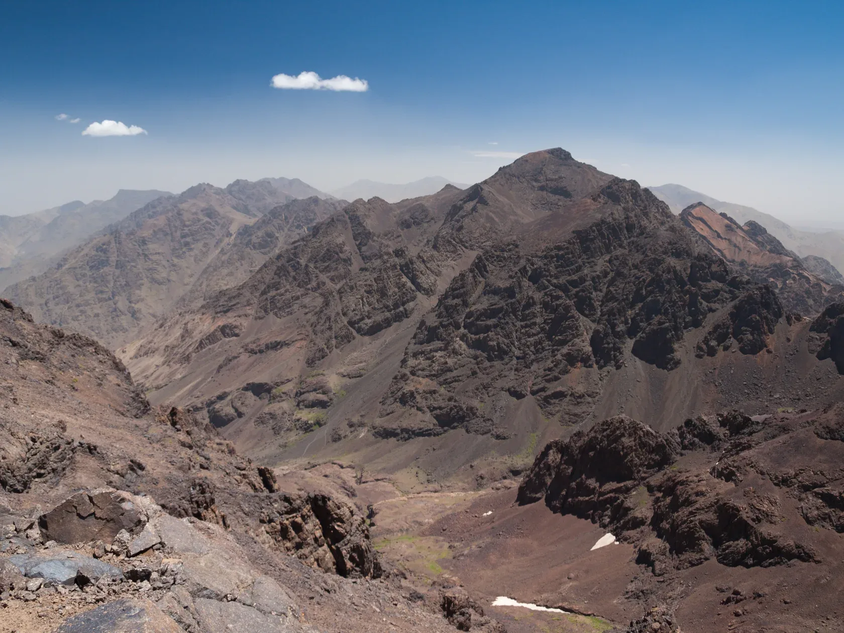
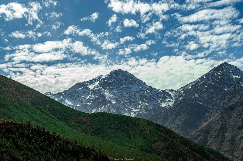
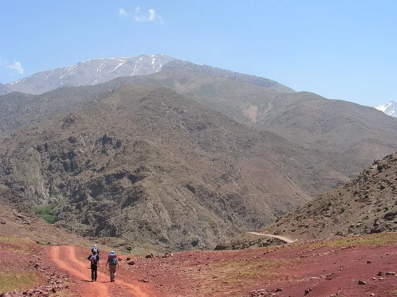
The short Toubkal route splits the ascent across a night in the mountain. Summit day can still be the longest day of the trip.
Mount Toubkal is Morocco's highest summit at 4,167 m. Start in Imlil, sleep at a mountain refuge and plan the summit and descent with a qualified guide. Figures checked 19 November 2026.
The standard short Mount Toubkal climb goes up the valley from Imlil and spends a night at a refuge. On the second day, the trek starts on the upper slopes. A second refuge night takes the lower descent off summit day. A qualified guide is required on the published summit route.
CAF Toubkal and Les Mouflons occupy the same upper basin. Pin down your hut by name, since a booking for a bed in a shared room and a booking for a private room have different implications for sleep, packing and the morning start.
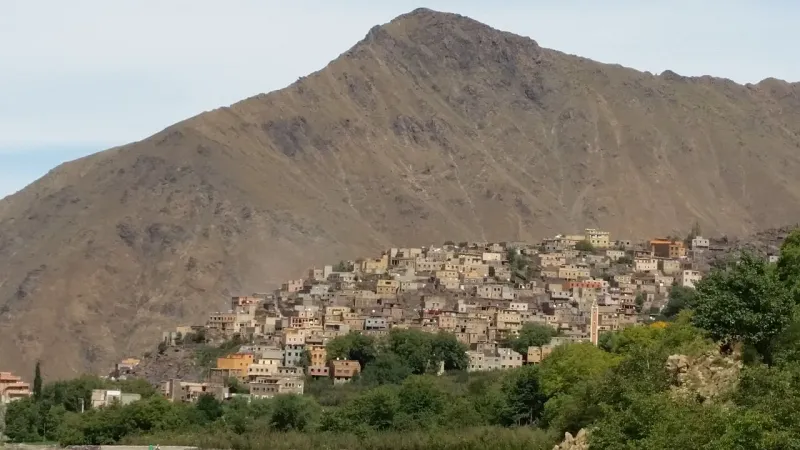
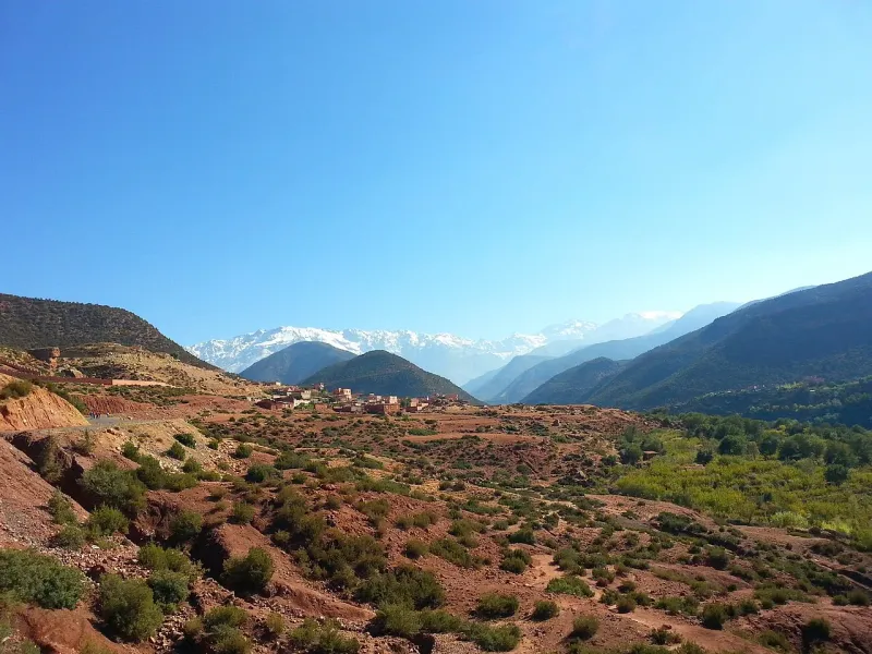
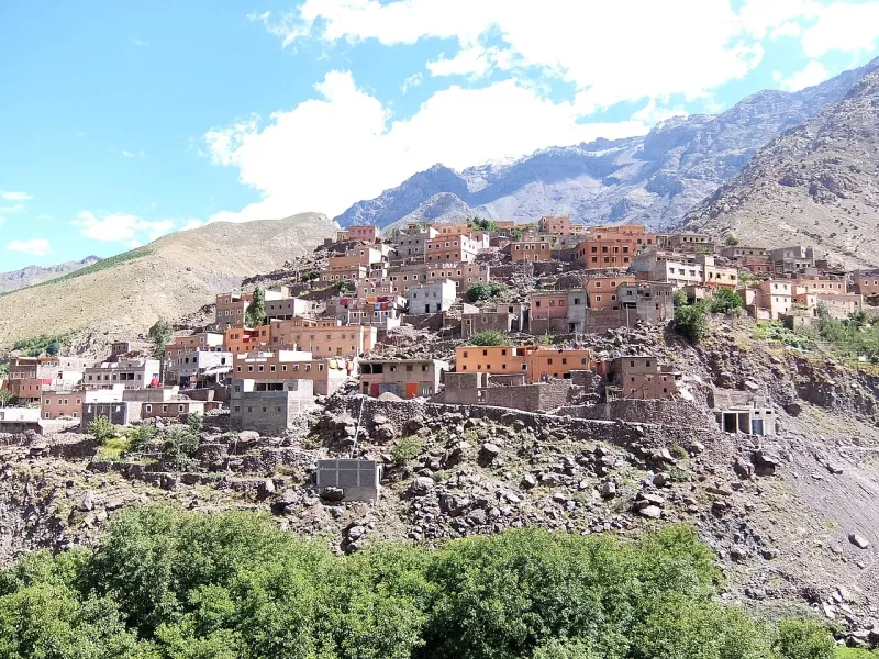
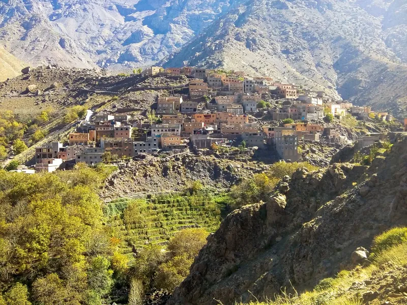
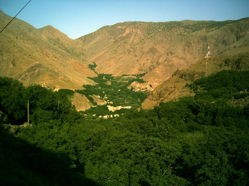
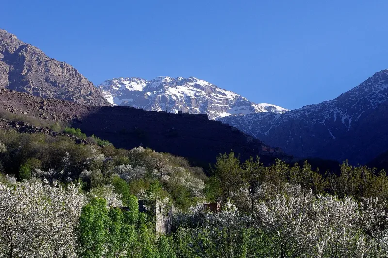
Look up-valley from Imlil to the houses of Aroumd. The village makes a lower objective for the day, or a place to pause before a longer walk into the valley. Get local route advice if you plan to carry on toward Sidi Chamharouch.
A longer circuit that reaches the hut from the other side
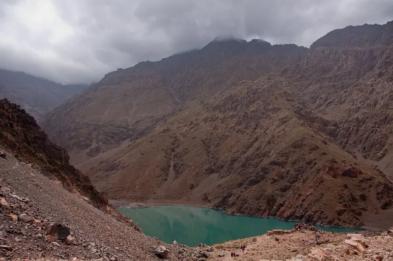
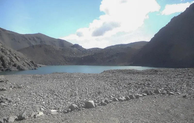
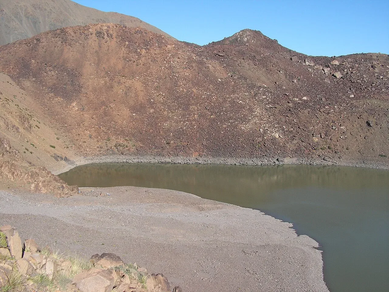
On the six-day circuit, the lake is a stop between Amsourzerte and the high crossing to the refuge. The meals, nights and road arrangements are quite different from a short summit climb. Compare the lake camp, village night and high pass before choosing a route.
An Imlil bed lets you get from the road to your guide without driving out from Marrakech the next morning. For a hillside stay, count the final walk after the road drop-off. The guide meeting and a breakfast before an early start belong in the departure plan.
How do you climb Mount Toubkal? The standard route starts in Imlil in Morocco’s High Atlas. It goes past Aroumd and Sidi Chamharouch to the refuges, then climbs to the 4,167 m summit. Put a refuge night between the approach and the summit. A third walking day can take the return to Imlil off summit day, depending on how the trip is scheduled.
Imlil is the trailhead
Imlil sits at about 1,741 m in the Aït Mizane valley. The regional park’s summit itinerary starts there and heads uphill via Aroumd and Sidi Chamharouch. The sequence matters for anyone arriving directly from Marrakech. The road trip gets you to the trailhead, with the longest part of the climb to the refuge still ahead of you. Leave room for the guide meeting, a bag check and lunch arrangements before you start walking.
At the foot of the trek the choices look simple. A driver can meet you in Marrakech, or you can travel to Imlil and meet a guide there. People who arrive in the village independently need a place to meet, a way to reach it from the drop-off, and a plan for bags that are going somewhere else. A village address often says less about how to get there with luggage than a short set of walking directions from the host. The Marrakech to Imlil transport guide compares the road options and the Asni connection.
The valley and Aroumd
Aroumd, also written Armed or Aremd, is farther up the valley. The regional guide uses Armed for a departure restriction in its sample summit itinerary. That makes the name worth knowing when you read a message from a guide or see a different spelling on a map. Imlil and Aroumd are separate meeting points. The road drop-off and the place where your guide starts walking may be different points, especially when an itinerary starts in Aroumd.
The opening stretch gives you a better idea of your party’s speed than a walking time taken from a trip advertisement. If a backpack is rubbing, if lunch still needs sorting out, or if somebody is feeling the heat on the approach, raise it before committing to the upper trail. The group still needs to reach the refuge with time to get settled and hear what the guide thinks of the next day’s weather.
Aroumd also works as a goal for someone visiting the valley for the day. The point of a shorter outing here is to see the foot of the massif and have a definite place to turn back. A summit group will want to keep heading uphill. A valley group can take the time to walk a lower route and return to Imlil for the night. That choice lets a party with mixed interests share the village stay without making everybody book the same hike.
Sidi Chamharouch
Sidi Chamharouch is a shrine on the route toward the refuges. It is also a useful place name for talking about the approach. Before it, you are still coming up from the settlement and valley floor. Beyond it, you have more sustained climbing to get to the hut basin. Use the public trail and follow local directions around the shrine. A walking route past the site gives you no assurance of access to the shrine itself.
Travel advice for Morocco mentions flash flooding in mountain valleys. Heavy rain can affect the access road and stream crossings in the valley even when the summit forecast looks settled. A plan to turn around in the lower valley is still subject to local advice and closures. Heavy rain can also affect alternative valleys. A guide with current local information can suggest a lower route.
The refuge basin and summit
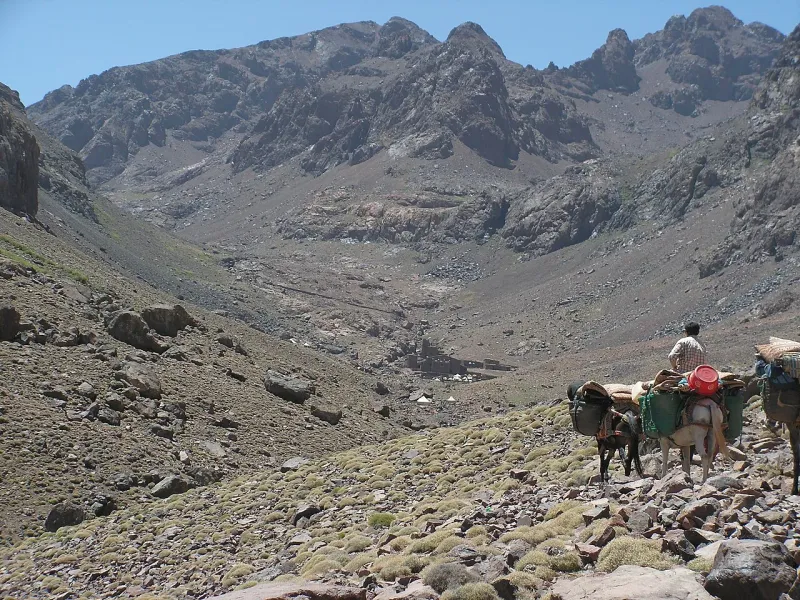
The two main huts sit at about 3,200 m. The regional inventory calls the earlier hut the Refuge du Toubkal. You may also see it called CAF or Neltner. The other is Les Mouflons. Use the property name on your reservation. A booking note that only says “Toubkal refuge” leaves an avoidable ambiguity if your guide and you have been in touch with different places.
The huts make it possible to separate the approach and summit, and they give you a place to spend the night below the highest part of the mountain. They still put you higher than the altitude at which the NHS says altitude illness can occur. How you sleep and feel at the hut belongs in the next morning’s decision. Take time to eat, sort layers and speak with your guide about symptoms instead of waiting for the group to be on the slope.
The Marrakech-Safi regional brochure gives a 26 km round trip by a two-day route. It has a 10 km approach and a 16 km second day including the summit and valley descent. A local operator gives about 12 km for the approach. These are two published examples with different route details. Measure each stage from your named starting point and hut, since moving the road drop-off also changes how much of the descent is left.
Published trail lengths from the two ends of the climb
Route segment
Published distance
How to use it
Imlil at 1,700 m to refuge at 3,210 m1
10 km, 1,520 m ascent
Regional brochure; check the exact start in Imlil
Imlil to refuge2
About 12 km, 1,450 m ascent
Different operator sample; allow for local start and finish choices
Refuge to summit, back to Imlil1
16 km, 970 m ascent, 2,480 m descent
Regional example for the full second stage on a two-day climb
The difference between Imlil and the refuge is roughly 1,460 m, using the rounded hut height. The next rise is roughly 970 m between the hut and summit. Total ascent can differ from that arithmetic when a path crosses dips and small rises. Walking distance and climb are helpful as separate figures. If you are deciding on a first high summit, compare Toubkal and Kilimanjaro by days on the trail and sleeping elevations.
The regional guide allows around eight hours for the approach in its sample itinerary and around ten hours from the hut to the summit and back down to Imlil. Those are planning figures from one itinerary. Commercial schedules may report different timings. Count breaks, an early look at conditions, the time it takes to return to the hut, and the descent below the hut. The timing that matters most is when the slowest person can safely finish the day’s plan.
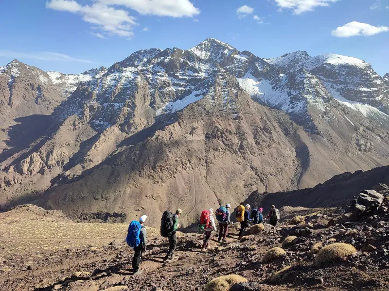
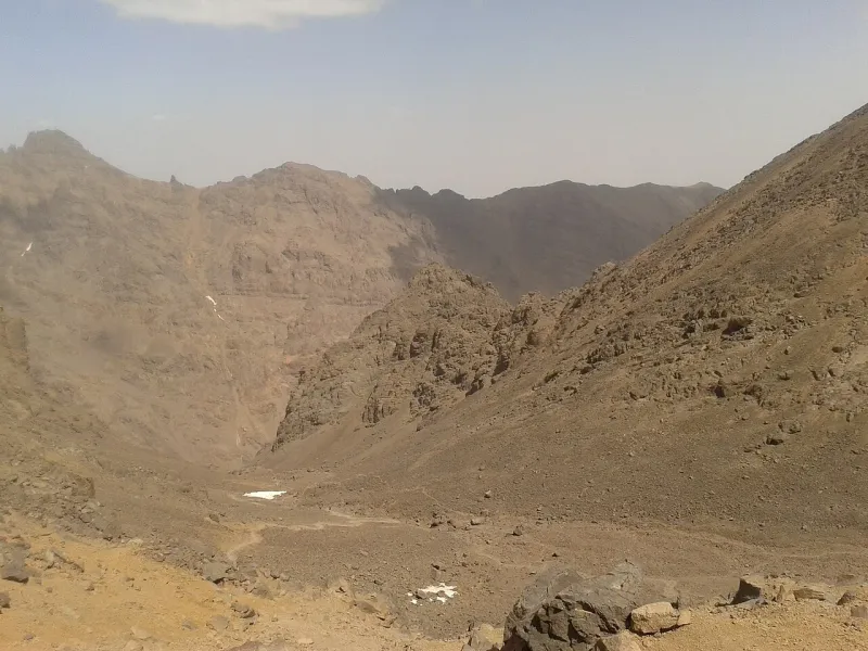
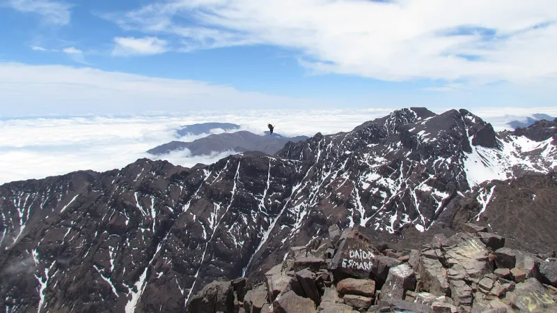
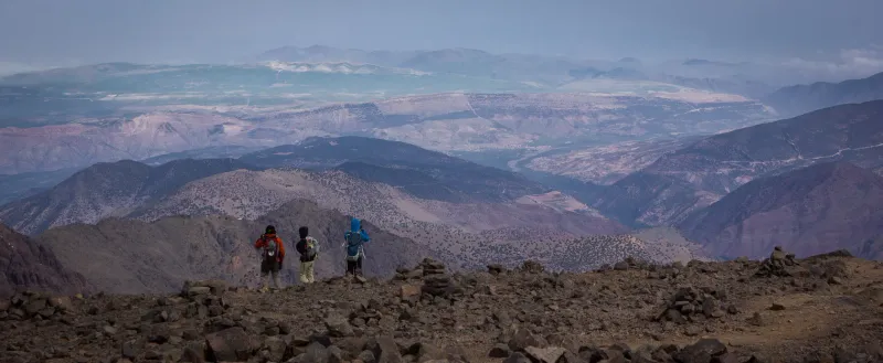
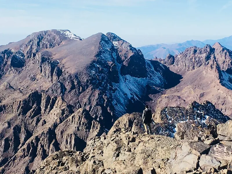
As the valley opens into the refuge basin, the route you took from the village falls away behind you. The summit stage remains above the huts. On the usual ascent the guide will set a pace for the upper slope and pick a point to reassess conditions. Rock, snow or ice underfoot matter as much on the way down as they do on the way up. The promise of a clear view at the top belongs outside the plan. The descent belongs inside it.
Returning to Imlil
On a compact summit day, getting back to the hut brings you to a stopping point with food, layers and bags to collect. The day’s work continues down past the shrine and back toward Imlil. A later pickup in the village may be workable when everybody is moving steadily. An inflexible onward departure makes it harder to adjust after a slow morning, a weather delay or a longer stop at the hut.
The finish can be at the refuge, at the road in Imlil or back in Marrakech after the drive. “Back by afternoon” could mean back at the refuge, at an Imlil guesthouse or in Marrakech. If someone plans to arrange a private ride separately, the name of the place and a way to tell the driver about a delay matter more than an optimistic time. Stay in Imlil after the climb when the road transfer and the final valley descent would otherwise be hard to fit together.
Choose your overnight stops
The published two-day and three-day trips can start in the same way. On the first walking day you go up from Imlil to the hut. On the second you try for the summit and return to that hut. The cheapest shorter plan may then take you right back down to Imlil. One three-day itinerary leaves you in the hut that evening and saves the rest of the descent for the following day. The two- and three-day comparisons show exactly where that published schedule adds time.
The useful question is how many nights are below the refuge before you climb, and how many refuge nights fall before the summit attempt. A night after the summit may help with fatigue and the descent. A staged plan with an earlier approach or an extra night before summit morning has a different effect. Mark the location of each bed and the morning of the attempt, so the summit and longest descent are easy to distinguish in the schedule. Do the comparison before you book your Marrakech hotel or build an onward train or flight around the advertised end of the trek.
The standard route goes from about 1,741 m in Imlil to a refuge around 3,200 m on the first walking day. The CDC Yellow Book advises a gradual rise in sleeping elevation and gives spending two to three nights around 2,450–2,750 m before going higher as an example of staged ascent. An Imlil night makes the early start easier. More time at an intermediate elevation changes the ascent itself. source
Published overnight and return schedules
Item
Published fact
First walking stage1
The park itinerary starts on foot in Imlil. Both package examples include transfers from Marrakech.
Before the summit1
Both package examples sleep at the refuge on the first night. The park itinerary puts the huts at about 3,200 m.
After the summit2
The two-day trip continues down to Imlil. The three-day trip sleeps at the refuge and walks down on day three.
Return ride2
The road transfer begins after the descent to Imlil, on day two or day three.
The regional park’s published route calls for a qualified guide. Morocco’s tourism ministry describes a natural-spaces guide category. In the guide and checkpoint guide, the dated regional route, the national professional category and current checkpoint details are treated separately. Morocco’s tourism ministry publishes an individual guide register. Winter terrain may need experience beyond the standard natural-spaces category. Visit Al Haouz lists the Imlil bureau as a local contact because the published itinerary gives the guide rule and Armed cutoff but does not settle current ID and access procedures.
A trip package often joins a guide, refuge allocation, meals and road transport. Independent guiding, refuge and transport bookings can work together when the dates and meeting points match. The free gaps between those bookings are the places where things can slip. A transfer can arrive after the guide expected you. A guide may plan for a particular hut without a room reservation. A driver may expect to collect you sooner than you can reach the valley. Share the final schedule with the driver, guide and overnight hosts.
The same applies to clothing and traction. A porter or mule arrangement can help with bags on the approach when conditions and the operator allow it. Keep water and food, insulating layers, waterproofs and anything essential with you. Before a winter trip, review equipment with the leader and make sure the boots and traction work together. The winter trek guide sets out the stages where snow, ice and available equipment can change the plan.
Below the summit
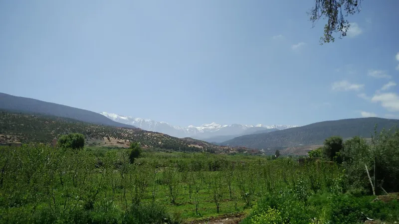
A visit to Imlil can be organised around the valley itself. Stay near the centre for a simple road and trail handoff. On a hillside, the final leg may be a walk with your bag or with help arranged by the property. The regional itinerary starts the summit route in Imlil, which is one reason the village is convenient. It also means that it is quite easy to make an Imlil stay all about leaving it early. Give yourself time there if the walk, the mountainside settlements and seeing the approach in daylight are reasons for the visit.
For one outing, pick a route with a turning point that matches the available daylight and the group’s energy. A village or viewpoint along a lower walk gives you more flexibility than an open-ended climb toward the refuge. Check local access before a walk farther up the valley toward Sidi Chamharouch. The Imlil day hikes guide compares a few ways to do that.
The Lake Ifni circuit
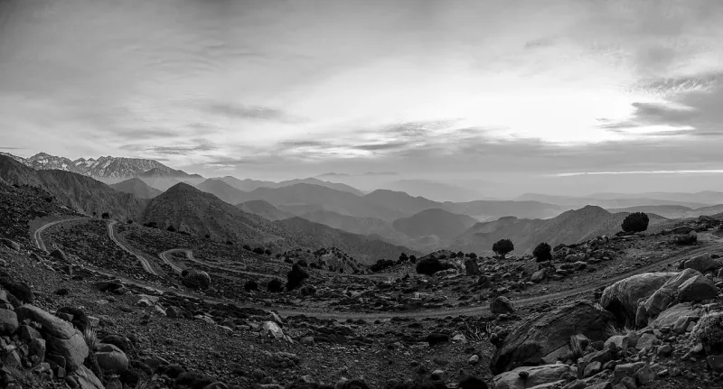
Lake Ifni is on a different part of the massif from the walk up from Imlil. The regional park guide puts the lake at about 2,295 m and the Tizi n’Ouanoums crossing above it at about 3,664 m. A longer trek can link those places with the refuge basin. The climbing and logistics on that route build over several stages, and a valley road or a high pass may affect the trip well before you reach the mountain huts.
Ifni makes sense as part of a circuit for walkers who want sustained days across the valleys and are comfortable taking the kit and support needed for changing overnight stops. In the published circuit, the night in Amsourzerte is in a village gîte and the night at Ifni is a camp. On another circuit, the lodging, water and way out can change with the chosen line and pass access. A higher pass need not have the same conditions as the Imlil approach. Talk about both separately.
The lake, the upper route and the walk around Imlil appeal for different reasons. Choose the one you would still be happy to do if the summit is out of reach that day. That makes it easier for the guide and group to agree on a change when wind, ice or fatigue dictate it.
Keep an honest fallback
Road and stream conditions in Imlil and the wind, visibility and footing high on the mountain need separate reports before you leave Marrakech. The regional itinerary starts walking at Imlil and reaches the huts after the approach via Aroumd. Wind, ice and visibility on the upper slopes can affect the summit plan even when the road to Imlil is open.
If the trip still goes ahead with a different objective, decide who needs to know. A changed night in the hut affects the refuge, the road pickup and any onward reservations. A shortened day walk may mean getting back much earlier than the driver expects. Keep the arrangement somewhere you can read offline and share it with the rest of the party. The most workable Toubkal plan gives you something worthwhile to do at each stage, even when the last stage changes. The month-by-month guide to Toubkal shows what to look for before you choose a date.
How to use route estimates
Subtract the Imlil elevation from the refuge elevation in the park guide and you get almost 1,460 m of net height change on the approach. From the approximate hut level to the summit, the equivalent difference is about 970 m. The two together put roughly 2,430 m between the summit and Imlil. These calculations use the elevations in the table above. A recorded walk may gain and lose more height along the way. A route estimate is specific to the trail start, the highest point reached and the end of the walk, which may be at a different road meeting.
The figures show why the return is part of the climb decision, especially for a one-day summit attempt. The route past the huts can bring tired legs back to steep, uneven ground, and even after you reach the hut you need to get down the whole valley if the car is meeting that afternoon. On the short itinerary, the hut stop and the road arrival are separate parts of the descent. A long pause at the hut changes the road pickup time. The published three-day example returns to the same refuge area after the summit. Neltner publishes separate bed and meal rates.
Choose your High Atlas route
A traveller staying in Marrakech with a spare day can walk in Imlil and go back without buying a summit package. A village out-and-back with a named turning point is easy to shorten if the pace is slow. A group that wants a high pass or a full day on foot can also start in the valley and choose one of the longer routes described by local properties. The first thing to agree is how much time the group wants to spend on foot and where the driver can meet it at the end of the afternoon.
For a summit trip, choose the latest tolerable date for the afternoon pickup and work back to a hut booking and a guide. A more flexible traveller can decide between a valley night before the climb, an extra refuge night afterward, or a different approach route through several valleys. Use the six-day Toubkal circuit to compare the lake and high passes with the direct approach. They buy different things. The overnight stops determine which parts of the trip can move if the weather changes. A circuit with a remote camp depends on different reservations and handoffs from a second night in the same hut. The published stages are most useful when a driver, refuge and guide can all work with the same schedule.
Guided routes from Imlil
Choose a guided trek
Compare the nights before the summit, the road transfer and the walk back to Imlil.
The regional park guide lists the summit at 4,167 m. It is in Morocco’s High Atlas.
How many days does it take to climb Mount Toubkal?
On the standard short trek, walk from Imlil to the refuge on day one and try the summit on day two. Some three-day trips return to the refuge after the summit and go down to Imlil on day three.
Do you need a guide for the summit route?
The regional park guide requires a qualified guide and lists a 15:00 cutoff at Armed. The Imlil guide bureau is the local contact for access procedures, which can change with restrictions.
How far is the Toubkal trek?
One regional route summary totals 26 km over two days. It measures 10 km from Imlil to the refuge and 16 km for the summit plus return to Imlil. The itinerary starts on foot in Imlil.
What is there to do in Imlil without climbing Toubkal?
Walk toward Aroumd or choose a shorter village or valley route with a known turnaround point.
Booking through this button may earn us commission without increasing your price.