Hike to Sidi Chamharouch and return to Imlil the same day
Sidi Chamharouch is a shrine hamlet beside a stream on the main route from Imlil to Mount Toubkal. It makes a full day walk by itself. Plan roughly four to six hours back to your starting point, with time to stop at the stream and allow people and pack animals past on the narrow parts. The Dar Assarou itinerary puts the hamlet at 2,350 m, roughly 590 m above its own starting point. Stop here if the objective is the shrine or you want a first day in the valley before climbing farther.
The route is also spelled Chamharouch, Chamarouch or Sidi Chamarouch. Aremd, Armd and Armed refer to the village farther down the route. Use both names when you talk to the guide so you know whether you are discussing a village walk, the shrine excursion or the full climb to a refuge. An Imlil day trip that gets to a village or a waterfall can follow a different route completely.
Points and times for a shrine day walk
The figures below use Dar Assarou’s published shrine walk. It includes stops for a picnic and at the stream. Kasbah du Toubkal gives four hours for its walk, starting from a different point. Sources checked 19 November 2026.
The Dar Assarou schedule spans seven hours on the clock including stops, with about six hours described for the walking outing. A start near the police post in the same itinerary trims the walk to about two hours up and an hour and a half down. Include the approach to and from that starting point if you are returning all the way to Imlil. Both round-trip clocks differ from the time on your feet if you stop for a proper lunch.
From Imlil through Aremd and across the stream
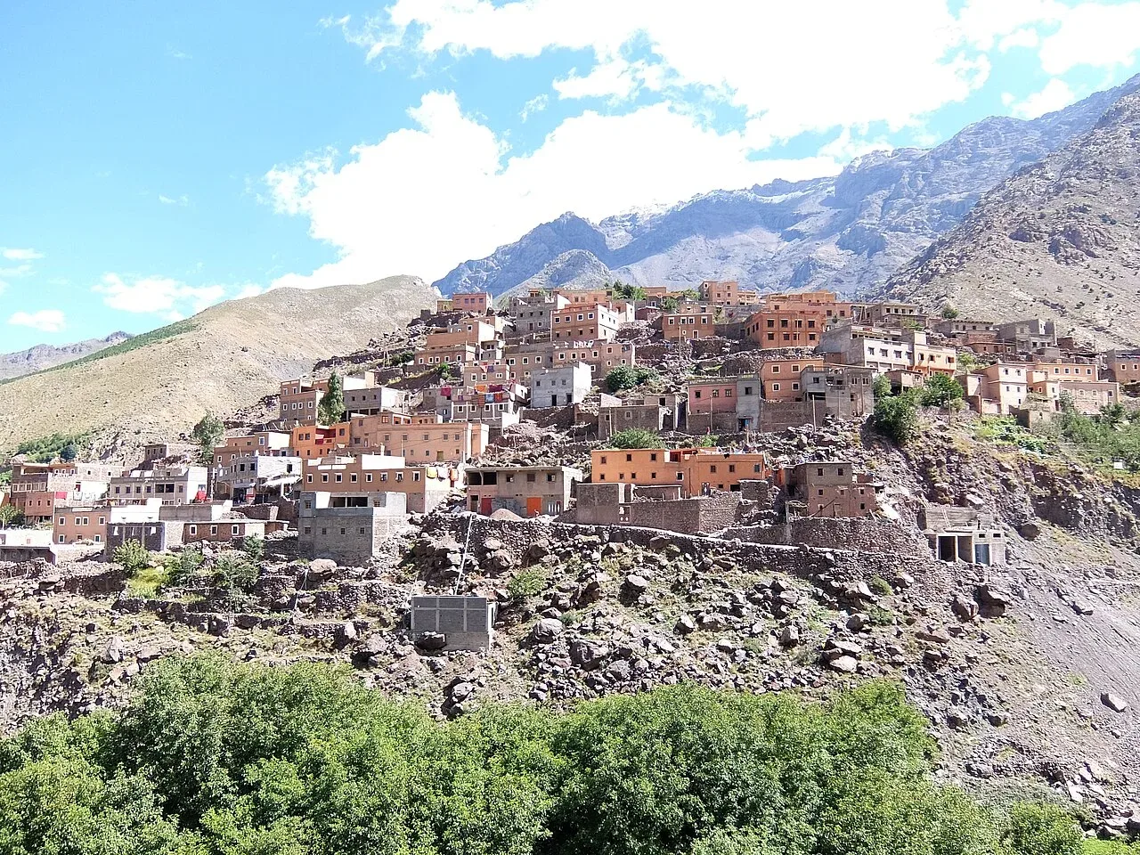
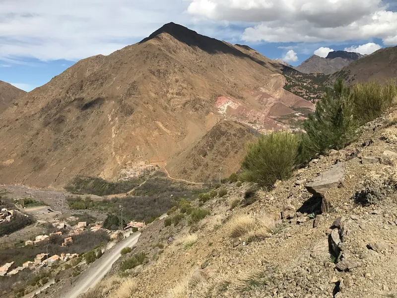
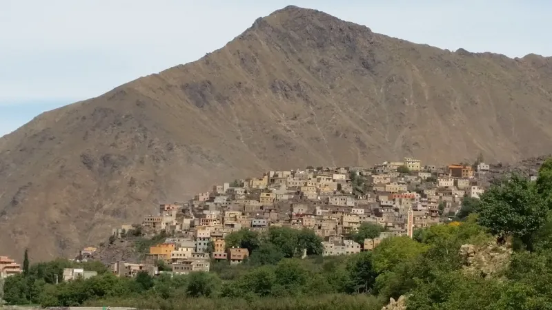
The walk begins among valley houses and tracks used by people travelling between hamlets. The ascent becomes more sustained after the Aremd section, where the valley narrows and you look back over the orchards and village roofs. Crossings after rain and uneven rocks near the water can make pole use awkward. Follow your guide’s choice of crossing and put cameras or phones away before stepping across.
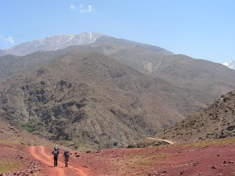
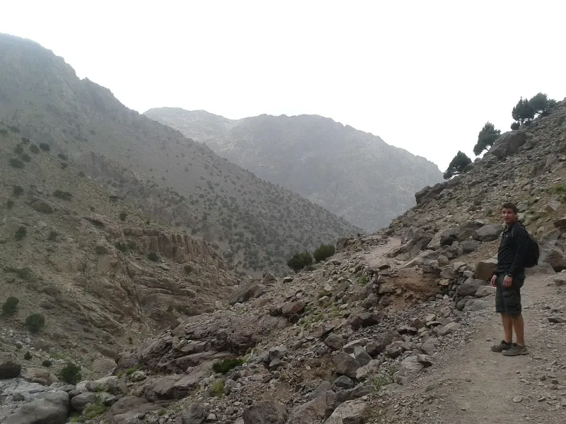
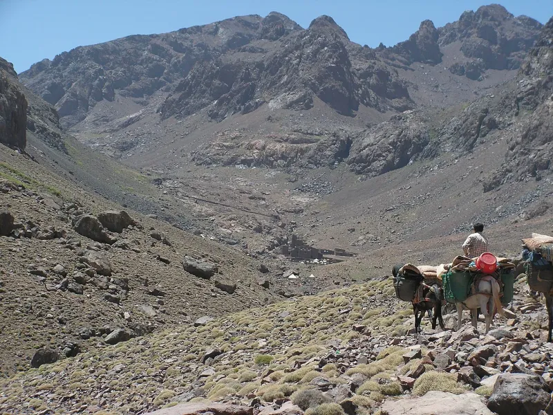
Mules share the trail between villages and the huts. Find a wider place to stop when they approach and let the handler show you where to stand. Track width changes repeatedly. On a loose corner walk a little more slowly even if the people ahead have already disappeared from view. The shrine approach is a useful turnaround precisely because you can make the downhill at your own pace without a climb to the refuge still ahead of you.
Start with sealed water and whatever food you need for the climb back down. The hamlet has trail stops, but it is sensible to plan lunch around what you have brought or what your guide arranged in advance. Food and water on the Toubkal route includes village and upper-trail price examples. If you booked a picnic, learn whether it is carried from the village, prepared after arrival or bought along the route.
Visit respectfully at the shrine
The shrine stands out from the track as a bright white rock and buildings clustered near the stream. It is an active place of devotion. The Imlil Adventures trail guide says the shrine interior is reserved for Muslim visitors. Use public approaches and viewpoints, pay attention to any signs, and respect the way people are using the area on the day you visit. Give people space on the approach, keep voices low and request permission before photographing individuals or private activity. Take a few minutes to find a place that does not block the passage if you stop to eat.
Some people arrive as pilgrims and remain at the hamlet for reasons quite separate from the hike. Your group can take a break near the public route and turn around without going into the shrine. Inquire about a guide before you assume the checkpoint and trail arrangements for the day. The regional summit guide describes the Aremd checkpoint and guiding on the summit route. A local guide or your lodging can explain arrangements for the lower walk on your date.
Choose a shrine outing or keep climbing to the huts
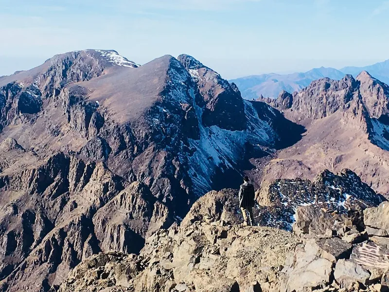
A visit to the shrine and return puts most of the gain before lunch, with the remaining hours downhill. It is suitable when you want a serious half-day to full-day walk without sleeping high. The route to Neltner and Les Mouflons continues up to about 3,200 m after the shrine, another 850 m or so in elevation. That is a separate objective from a shrine day. Leave it for a day with its own start, drinking water, guide arrangements and plan for turning back.
If you are using the shrine walk before a summit attempt, treat it as a chance to try your boots, learn how you move on stones and see how you walk back down after a sustained climb. First-time Toubkal hikers can use it as a shorter objective to adapt the bigger plan. Tell the guide if the grade, weather or height makes the walk harder than expected. Some visitors may prefer an easier hamlet loop from Imlil or the Imlil day-trip route by the time they have reached Aremd.
Plan for a less hurried descent by bringing back your lunch packaging and saving a drink for the last stretch as you re-enter the village. Wet surfaces and the first winter ice can change where you stop even when clouds are an issue only on the upper mountain. If you arrived from Marrakech that day, choose a return pickup that leaves room for a longer picnic, a careful river crossing and the walk or drive between your actual trail end and the meeting point. Ask the driver to name the precise pickup spot in Imlil before leaving the village.
A walk beginning at an outlying lodge can skip shops in central Imlil. Agree whether to start at the lodge or meet on the main road and get your water and lunch first. For a group with mixed walking speeds, use the Aremd river crossing as a check on time and comfort. The route gets firmer and rockier after this stage on the way toward the shrine. A group that is already slow or uneasy at the crossing can spend a useful day around the village. If you continue, set a time for leaving the shrine before stopping for tea. The remaining downhill and village streets still take time.