How do you reach Lake Ifni for a day hike? Sleep in or near Amsouzart, then walk up the southern valley and back. The regional tourism board estimates two and a half hours to the lakeshore, checked 19 November 2026. A walk from the Mount Toubkal refuges takes the high pass and needs a different itinerary.
Start in the right valley
Amsouzart sits in the Tifnoute Valley, on the far side of the massif from Imlil. Ifni, also called Lac d’Ifni, is the lake in the upper basin there. Amsouzart is the road meeting point in the regional guide. A driver booked for the usual Imlil trailhead is taking you to the northern side, where the lake outing involves a high pass and overnight planning.
| Segment | Published figure | Where it applies |
|---|---|---|
| Agadir to Amsouzart1 | 240 km, about 4 h 30 min | Regional board description via Taroudant and Aoulouz |
| Amsouzart to Lake Ifni2 | About 2 h 30 min outward | Budget return walking time and a lakeside stop separately |
| Amsouzart to Lake Ifni3 | 2 h 30 min to 4 h outward | Separate walking estimate; pace and start matter |
| Lake Ifni1 | 2,295 m | About 2,300 m when rounded |
| Tizi n’Ouanoums1 | 3,664 m | Published height on the high crossing from the lake to the refuge |
| Refuge to Lake Ifni via the pass3 | 5–7 h | One local estimate for north-to-south walking time |
The regional tourism board describes access from Agadir through Taroudant and Aoulouz, then into the Tifnoute Valley. Its separate summit itinerary estimates four and a half hours and 240 km for that road journey. That estimate covers the route to Amsouzart. The time to reach an individual property depends on the last stretch of road and any stops. The regional board suggests staying in Amsouzart so you can use the day for the lake.
Some route descriptions use a different drop-off or an intermediate hamlet. A point used in somebody else’s trip report may depend on the vehicle and the conditions that day. A property or local guide can identify the chosen road approach and return pin for that itinerary. Match it to the intended walk since some trail descriptions start beyond Amsouzart. The published route gives no scheduled transport to Amsouzart. Establish the return from Amsouzart when you arrange the outward leg.
From Amsouzart and back
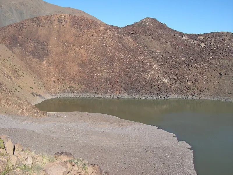
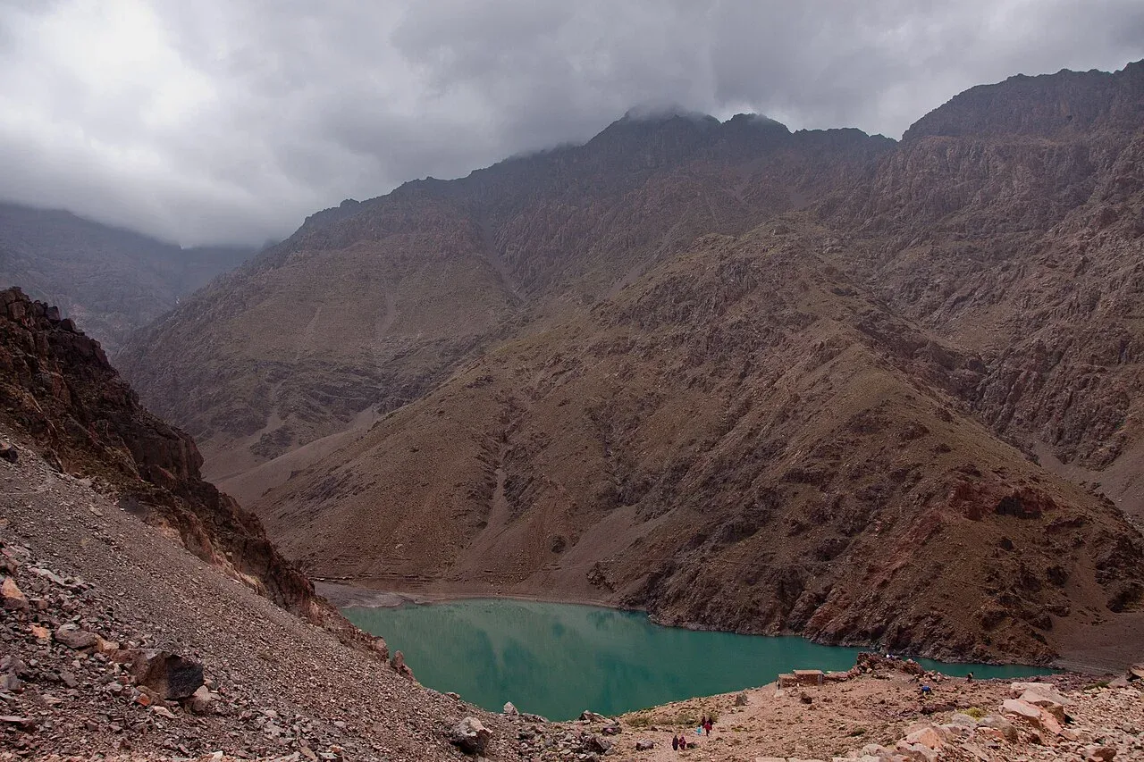
The valley approach goes past villages before it reaches the rocky basin. The lake sits at about 2,300 m, depending on the source’s rounding. The tourism board allows about two and a half hours outward, while a local route description puts the outward journey at two and a half to four hours. A separate guided trek allows more time on the leg in its schedule. A drop-off beyond the centre changes the distance on foot.
Separate the outward walk, a lakeside stop and the return in the day’s plan. The first time only tells you when you might reach the shore. A late start, rain earlier in the day or a slower party can change the distance you can cover before the return. Put a named turnaround into the plan and tell your host when you expect to be back. An earlier turnaround on the same trail lets the party shorten the walk without moving the vehicle meeting. A different exit needs its own road plan.
Carry the food and water you’d need without a café or reliable water supply at the lake. The time you spend at the edge is part of your margin for daylight, transport and weather. Check path surfaces, stream crossings and forecast conditions with the local guide or host. If the shore visit is the main reason for the outing, an overnight in the village makes it easier to keep a sunny part of the day free without relying on a road trip beforehand.
Via Tizi n’Ouanoums
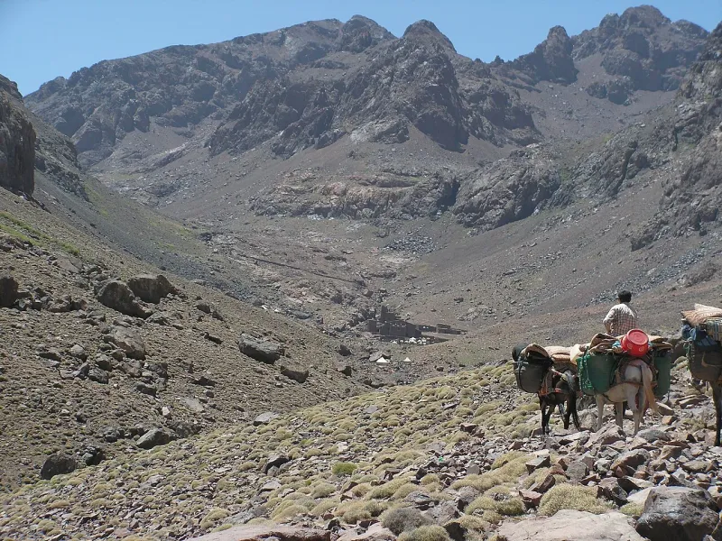
The high pass is a second way to visit the lake. It connects the refuge basin and the southern side of the mountain. Published elevations range from around 3,650 m to 3,664 m. From the high point to a lake near 2,300 m it is more than 1,300 m of elevation difference. The slopes and remoteness matter in addition to that difference. In poor conditions or after late snow, check the pass directly with a qualified guide. The valley forecast and the lakeshore are at much lower elevations.
Some north-to-south plans start in Imlil and use a Toubkal refuge bed before crossing. They come out on the Amsouzart side. The six-day circuit reaches the lake before the refuge and returns toward Imlil. Get the order of the nights and the direction of crossing before comparing a route described as an Ifni trek. A lodge, lakeside camp and refuge bed all need different equipment and bookings.
Plan your return
| Start and route | Good fit if | Logistics |
|---|---|---|
| Amsouzart and back | The lake is your aim and you want a village bed afterward. | Road pickup and the time you need to return to the village. |
| Imlil to the lake via the refuges | You want a high traverse with a separate south-side finish. | Refuge, condition at the pass, lake overnight and an Amsouzart transfer. |
| Lake visit on the Toubkal circuit | You have time for several passes and different overnight stops. | Day plan, names of the beds or camps, baggage and road exit. |
If your visit depends on the high crossing, check the season guide for the distinction between a valley report and the upper route. If the itinerary begins in Imlil and you prefer a shorter trek with a village guesthouse, compare the Azzaden Valley routes for a two-day walk on the western side.