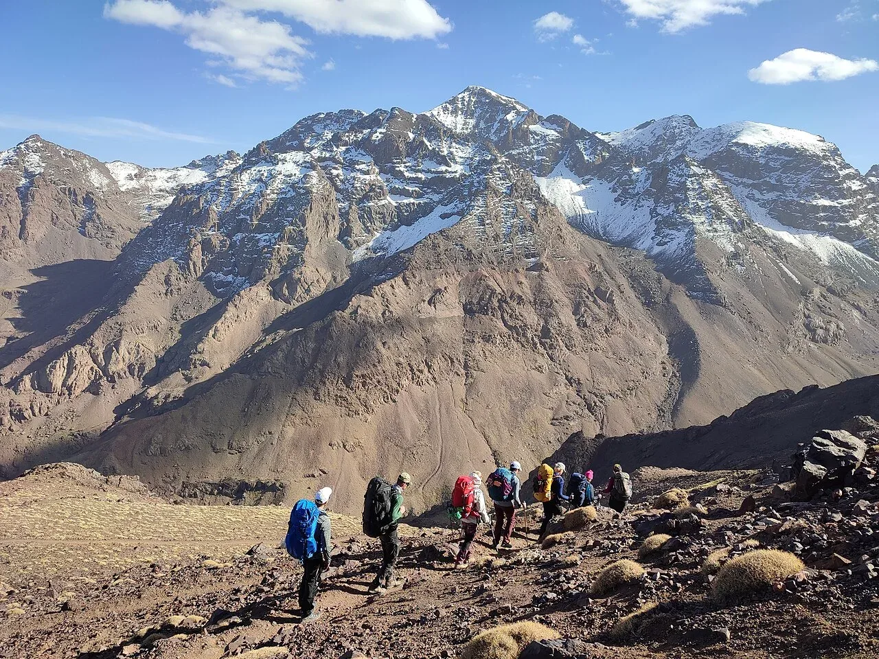
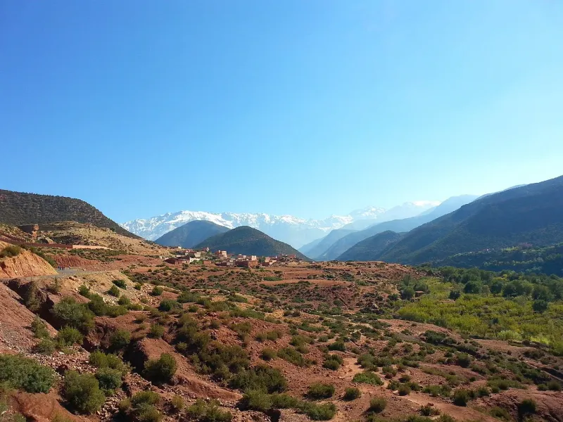
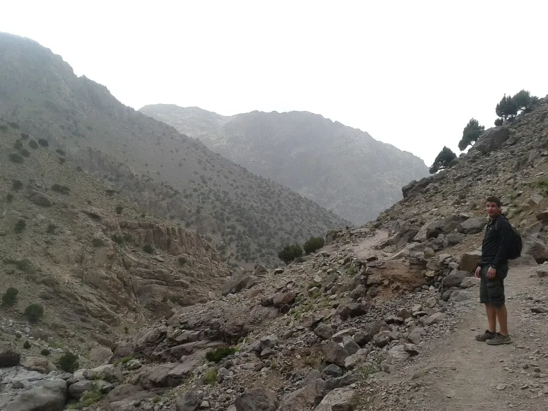
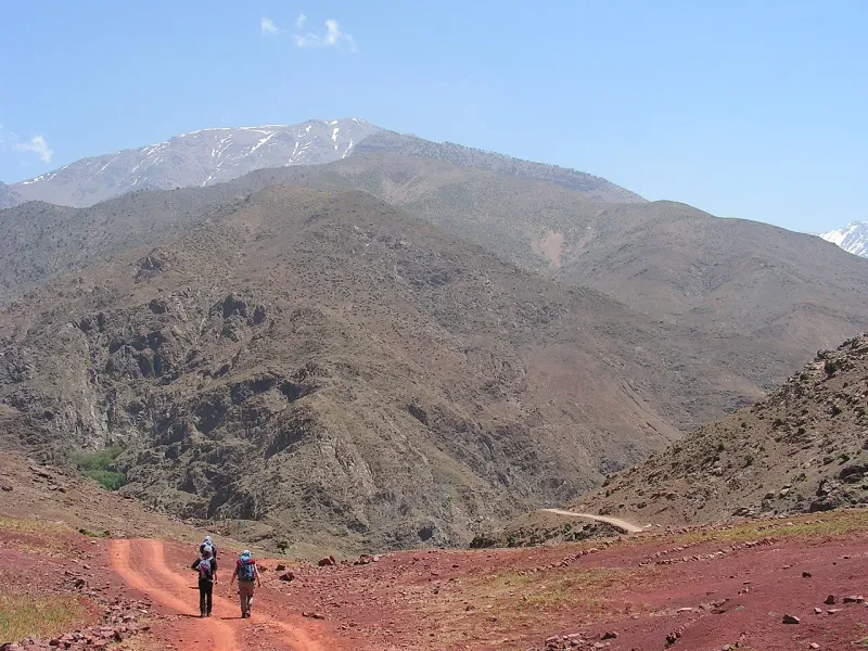
You can attempt Mount Toubkal in one day with a qualified guide when the route is snow-free and each hiker can sustain a long mountain day. This is a round trip on foot from Imlil to 4,167 m and back. A local operator budgets 7½ hours walking and another describes 12–13 hours. Those estimates were checked on 19 November 2026. The spread should change the time you reserve for the day.
Walking time and distance
The 26 km figure is a planning measure from the regional two-stage description. A particular one-day booking may start on a different lane in Imlil, or by the road head near Aroumd. The fast operator leaves the distance off its product page. Treat the brochure distance as a way to picture the undertaking and use the meeting point from your own itinerary to work out the actual start.
The highest point on paper is about 2,400 m above Imlil. You have to lose that height before the walk is finished, on terrain that changes from the rocky upper slope to the valley path. A time to the top covers only the ascent. The hour you can be back at the guesthouse also depends on rests and how well the party handles the descent. For comparison, the two- and three-day routes have the same mountain with a different split of the walking.
What the day looks like
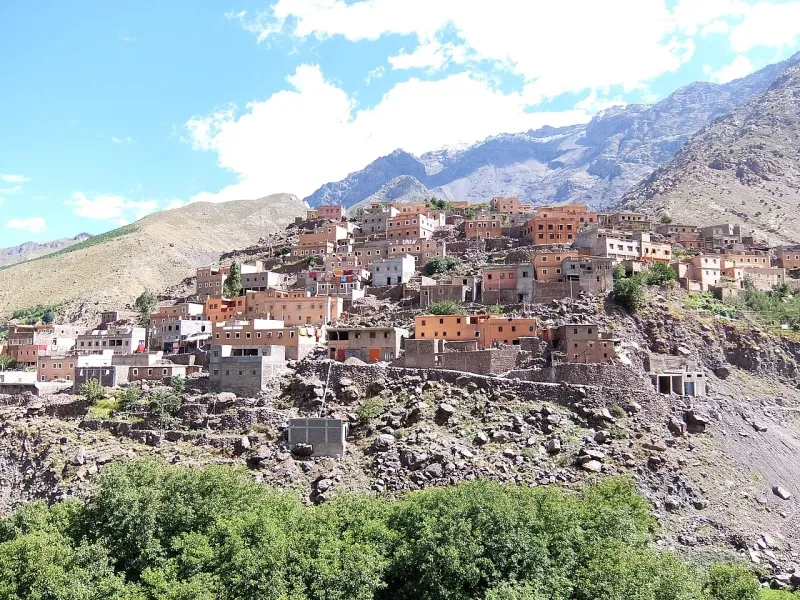
From Imlil, the trail runs into the Mizane Valley and past Aroumd. The road ends below the mountain. The regional park guide lists a qualified guide for the summit route and describes controls at Armed, another spelling of Aroumd. The guide and checkpoint details explain the source and scope of the published requirement. Arrange the guide before relying on an early start, with the trail meeting point and local access procedure settled for that departure.
Next comes Sidi Chamharouch, the shrine hamlet on the lower half of the approach. On an ordinary overnight trek this can be a stopping place on day one. On the one-day schedule it is still before the walk to the refuges. Plan water and food for the entire day, including the descent. An early passage or a day outside the main season can put you at a stall before it opens. The trail food and water guide distinguishes the village, refuge and summit legs.
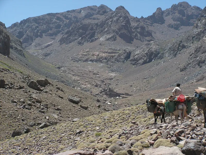
The refuge basin is about 3,200 m above sea level. From the huts you still have almost a kilometre of vertical rise to the summit. Set your guide’s time to reassess the party here before leaving Imlil. If the approach has already used up too much daylight, or if the upper route is unsafe, the hut basin can be the highest point of the day. You still have a walk down through Sidi Chamharouch and Aroumd. Reserve enough time for those stretches even when the group stops short of the summit.
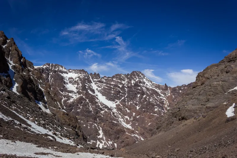
The upper section takes you out of the refuge basin onto the mountainside. In favourable conditions, the group can continue to the summit and return past the refuges. Loose ground can make footing harder on the way back, especially when people are tired. Plan a turnaround tied to the slowest plausible descent, the actual route conditions and the time you need to finish indoors or at the vehicle. Wind, reduced visibility, snow or ice can change the plan before the first step uphill.
Imlil or Marrakech start
The fast operator’s published day starts at 04:00 in Marrakech and includes about two hours on the road to Imlil. Breakfast and lunch are excluded even though dinner is part of the rate. The product gives no fixed time of return to Marrakech. Its timetable therefore suits a traveller who can keep the evening free and carry everything needed for the walk out of Marrakech.
An Imlil overnight removes the outward drive from summit morning. It also puts you in the village to see the guide, fit any hire equipment, and move provisions into your walking bag the afternoon before. Match the pickup pin to your room. A lodge above the centre may need its own walk to the road, and a driver collecting you after the trek needs the right valley endpoint. The road guide gives the road-stage estimates for working out that connection.
If you need to travel on after the trek, schedule another night before a flight or long transfer. The walking estimate is already uncertain before you add the road. Even when a group turns around before the summit, the descent and vehicle connection can move the end time beyond the service you meant to catch.
Who should try it
The fast itinerary is aimed at hikers already doing long days with sustained climbs and descents. A recent series of shorter flat walks provides little evidence about how your legs will fare on the path below the huts after a summit ascent. Use the beginner readiness guide to compare the work with a long hill walk you have completed. Include comparable repeated downhill walking, carrying your daypack and eating while you keep moving.
A same-day route also takes you rapidly from the village into high altitude. Fitness does not protect against altitude illness. If you develop a headache with nausea or dizziness after climbing higher, tell the guide and stop ascending. Someone with worsening symptoms needs descent, and breathlessness at rest, confusion or trouble walking straight calls for emergency help and immediate descent when feasible. The altitude guide explains the symptoms and links to the clinical sources.
The fast itinerary is sold for snow-free conditions. A dry valley under Aroumd says little about hard snow above the huts. If the guide treats the upper mountain as winter terrain, leave the compressed outing aside and use a suitable winter itinerary or choose a valley walk. A warm day on the road from Marrakech can coexist with wind and near-freezing temperatures higher up.
Keep a lower alternative
The actual decision is whether to fit the whole climb and descent into one day with enough margin. A private guide can adjust the pace and set a different turnaround for a single travelling party, but the private rate still buys an attempt on the same mountain. A shared departure gives a lower published price in this example. Its walking pace and turnaround depend on how the group is managed, including what happens if somebody cannot continue.
A guide can also take you to Sidi Chamharouch and return. It gives you the Aroumd approach and the shrine hamlet without budgeting for the refuge and summit legs. It is a separate objective, especially if your only free day comes at the start of a trip from low altitude or you have no recent long mountain walks to judge yourself by. Keep the lower walk as a plan of its own so you can choose it before leaving Imlil.