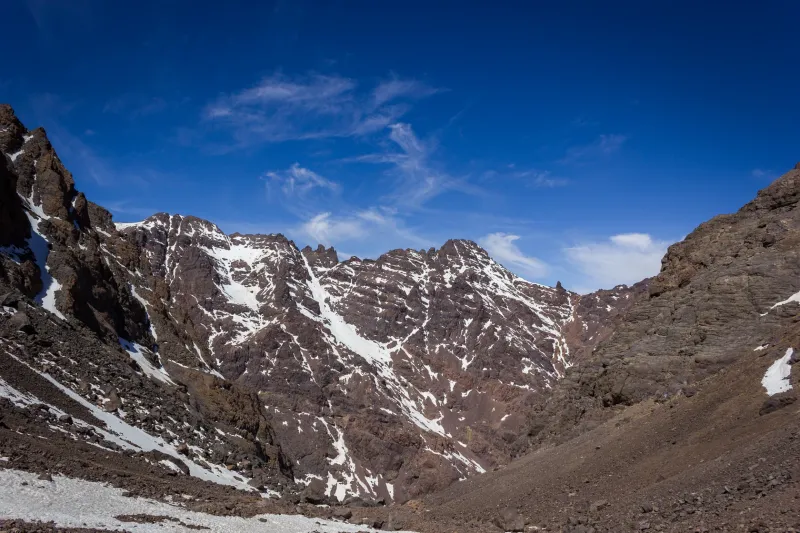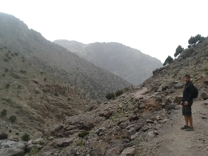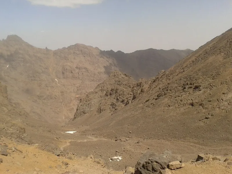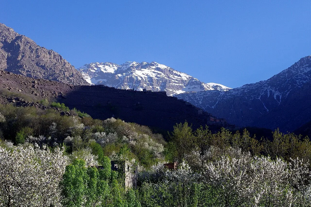
When is the best time to climb Mount Toubkal? Look for a stable, snow-free spell if you want a trekking itinerary. Late spring and early autumn are useful periods to look for a snow-free route. Fresh snow or lingering ice can still change the plan. The summit rises to 4,167 m, far above the valley forecast.
Forecasts at three heights
Imlil, the refuge basin and the summit are different environments. The road can be usable and the valley warm even when wind, snow or ice affect the high route. A road report, a refuge approach report and a summit report cover different parts of the route. A report from somebody who has reached the huts tells you how the approach was at the time they walked. It says less about the summit unless they also climbed or spoke to someone who did.
| Place | Elevation | Condition to confirm |
|---|---|---|
| Imlil1 | 1,741 m | Road and valley access |
| Refuges2 | About 3,200 m | Snow or ice on the approach and access to the hut |
| Summit2 | 4,167 m | Snow, ice, wind and visibility on the summit slope |
The Amsouzart to Lake Ifni day hike reaches the lake from the southern valley. Its valley approach and the high pass from the refuges are affected differently by snow and storms.
A report is most useful when it has a time, elevation and location. “Snow above the refuge yesterday” gives a time and a useful location, while a valley report applies at a much lower elevation. “Very cold” may only describe Imlil at night. Give the local guide the day you are arriving, the night you plan to sleep at the hut and the morning of the summit. A condition that matters on the road may pass before you reach the slope, or a calm forecast can change while you are travelling.
Spring and autumn
Spring snow can remain above the huts after the lower tracks clear, especially where a surface refreezes overnight. The season can change from the valley upward, and refrozen surfaces can persist high on the mountain when town feels warm. Conditions following a recent storm deserve a separate check. Wait to get a local report before drawing a conclusion from a month listed in a walking guide.
In autumn, compare usable daylight with the estimated time for the whole descent, including the stop at the hut. Warm daytime conditions in Imlil leave the overnight requirements at the hut uncertain. An expected late return from the summit becomes more consequential when fewer hours of daylight are left. The two- and three-day comparison shows an option that takes the lower descent off summit day.
Summer heat and refuge nights
For a summer date, discuss shade, water and the start time on the approach. A town forecast is more relevant to the walk out of Imlil than the summit weather, and an operator can explain where they expect to refill water. Agree who carries what and whether a refill is dependable that day. Above the huts, wind and visibility can still determine whether the route is suitable. Pack warm layers and a shell for the mountain, even if Marrakech is warm.
If your party has people with very different paces in heat or on descents, choose the itinerary around the slowest expected day. The slowest expected pace sets how much daylight the group needs. Read the packing list for the day bag and separate hut bag. A later arrival also changes the time available to settle in and eat at the refuge.
Winter and late snow
When snow or hard ice affects the summit route, the equipment, judgement and experience requirements change. A mountain guide needs to determine whether a suitable line and turnaround remain available. The operator listing described in the winter trek guide gives an example of a separate winter itinerary. A published summer price can still be advertised when current snow or ice requires winter experience and different equipment.
Consider where you will go if the summit route is outside the team’s experience. A lower alternative may still have its own rule or weather restriction, especially after rain. A flexible valley room or transfer gives you room to choose a different walk after checking the lower route. Planning a worthwhile day in the village means you can make a weather decision without putting the whole visit on it.
Conditions by elevation
| Point | What governs access |
|---|---|
| Road | Can my driver get to the planned pickup or drop-off? |
| Valley | Any flooding, closures or changes to the approach? |
| Huts | Changes on the approach and the dates of refuge beds. |
| High slope | Where are snow and ice, and what does the guide expect on summit morning? |
| Descent | When do wind, visibility or daylight make the return less workable? |
Weather warnings and access
At booking, use the itinerary and cancellation terms to see how easily the guide, room and car can move. Review current conditions before travelling to Imlil. In the village and at the hut, take the current report seriously. A delay that would still leave enough time for a summit might leave too little time for the entire descent. The difficulty and altitude guide describes how those decisions combine with fatigue and symptoms on a standard trip.
Use the Moroccan weather service’s warning map and select Al Haouz for the Imlil side. The weather service guide says it normally issues updates at 06:00, 10:00 and 16:00, looking 24 and 48 hours ahead. It covers heavy rain, thunderstorms, snowfall, strong wind and heat or cold spells. A watch for the province can matter for the road and river crossings even when the forecast for the summit is dry. The weather service directs readers to follow local public instructions during orange and red alerts. If you are already in Imlil, get the current road or trail instructions from the people operating there before setting out. Weather service advice
The warning map gives you a province and a time window. Compare that with when you will be below Aroumd, at the refuge or on the exposed slope. If an alert begins overnight, it can affect the next morning’s upper leg even when your afternoon arrival at the hut was uneventful. After heavy rain, a new dry forecast leaves the condition of the road and crossings open. A driver who has just come through Asni can give current access information for the road. A guide who has seen the higher trail can explain where snow or water cuts off the walk. Get both reports when a storm has affected the valley and upper mountain. If you drive around to Amsouzart for Lake Ifni, check the province and forecast along the southern approach as well. A report from Imlil covers the north side.
Match season to route
The village, refuge and summit make three distinct objectives. If you are travelling to Marrakech and want to see the High Atlas in a day, a lower walk with a clear return point can still fit if the upper mountain is covered in snow. If the aim is Toubkal itself, allow time to get a current report from the guide and find out whether changing the date would help. A longer loop creates more decisions because its passes can be unsuitable at different times, even though the road to Imlil remains open.
A snow-free preference is a good thing to state when you contact a guide. An upper-mountain report needs to locate the snow and describe whether it will be soft, firm or icy when the group crosses it. A warm afternoon can be followed by refreezing overnight, so the surface on summit morning can differ from the one people walked on the afternoon before. Return conditions also matter: a section that is manageable for your group going up must still be suitable on the way down.
April and October conditions
Use the month-by-month conditions table to plan for October or April. In either month, put the question of snow on the upper slopes into your first enquiry. The intended route determines the equipment and experience needed when you book. The current surface determines whether that original plan still works. A report from the same month in a different year describes a separate set of conditions. A report from the valley, refuge or upper route tells you where the actual difficulty is near departure.
A walk from Imlil can be planned in stages if the group is unsure. Choose which lower section you want and whether continuing toward Aroumd or above it will be reasonable on the day. Get a report on rain and streams for a valley hike as well. The region’s flash-flood advice matters on the approach and the road. A local report from the host can identify an affected road drop-off or path. A changed drop-off may also move the guide meeting.
Seasons for the circuit
The six-day Ifni operator advertises its trip from May to the end of October. That is the offer’s operating period. The itinerary crosses Tizi Likemt and Tizi n’Ouanoums before the summit day. Wind, snow and access on either pass can move subsequent nights even if the summit itself is clear. One suitable day above the refuge will not resolve an earlier crossing. The group should have an answer for how changes affect its huts and camps and who can receive a message about a later pickup.
For shorter trips, choose whether flexibility should go before summit morning or afterward. Moving the date by a day can help when a clear window is expected only if a guide and hut can also move. A second night that comes after the attempt is useful for the descent but does not give another free summit morning unless the guide and other bookings can change. Before paying, check whether the guide and accommodation bookings leave a spare day.